
It’s a sight that should never happen in mid-June. Satellite images from 15 June 2026 show vast swathes of central and peninsular India stripped bare of monsoon clouds. The sky is clear, the air is dry, and farmers are waiting for rain that simply isn’t coming. According to data released by the India Meteorological Department (IMD), the country has suffered a staggering 64% rainfall deficit between 4 and 15 June.
Normally, this period sees an average of 53.7 millimeters of rain across the nation. Instead, only 19.2 millimeters were recorded. It’s not just a slight dip; it’s a near-total pause in one of the world’s most critical weather systems. For millions relying on these rains for their livelihoods, the silence from the skies is deafening.
The Science Behind the Silence
Here’s the twist: this isn’t about a lack of moisture in the ocean or unusually warm sea surface temperatures. Experts point to a high-altitude atmospheric clash. The culprit? The western jet stream.
Usually, the western jet stream sits far north, allowing the easterly winds to drive the southwest monsoon into the Indian subcontinent. But this year, the jet stream has shifted unusually southward. This displacement disrupts the upper-level easterlies, effectively hitting the brakes on the monsoon system. Meteorologists call this a "monsoon pause." It’s a temporary blockage caused by wind patterns colliding thousands of kilometers above our heads.
Some reports have linked this to El Niño-like conditions in the Pacific Ocean, but the primary driver remains this anomalous jet stream behavior. It’s a complex dance of air currents, and right now, the steps are out of sync.
Regions Hit Hardest
The impact is uneven but severe. While parts of the Himalayas, Northeast India, and the northern Indo-Gangetic plains saw some activity, the heartland is dry. States including Madhya Pradesh and Rajasthan are among 16 to 17 regions facing significant delays in rainfall onset.
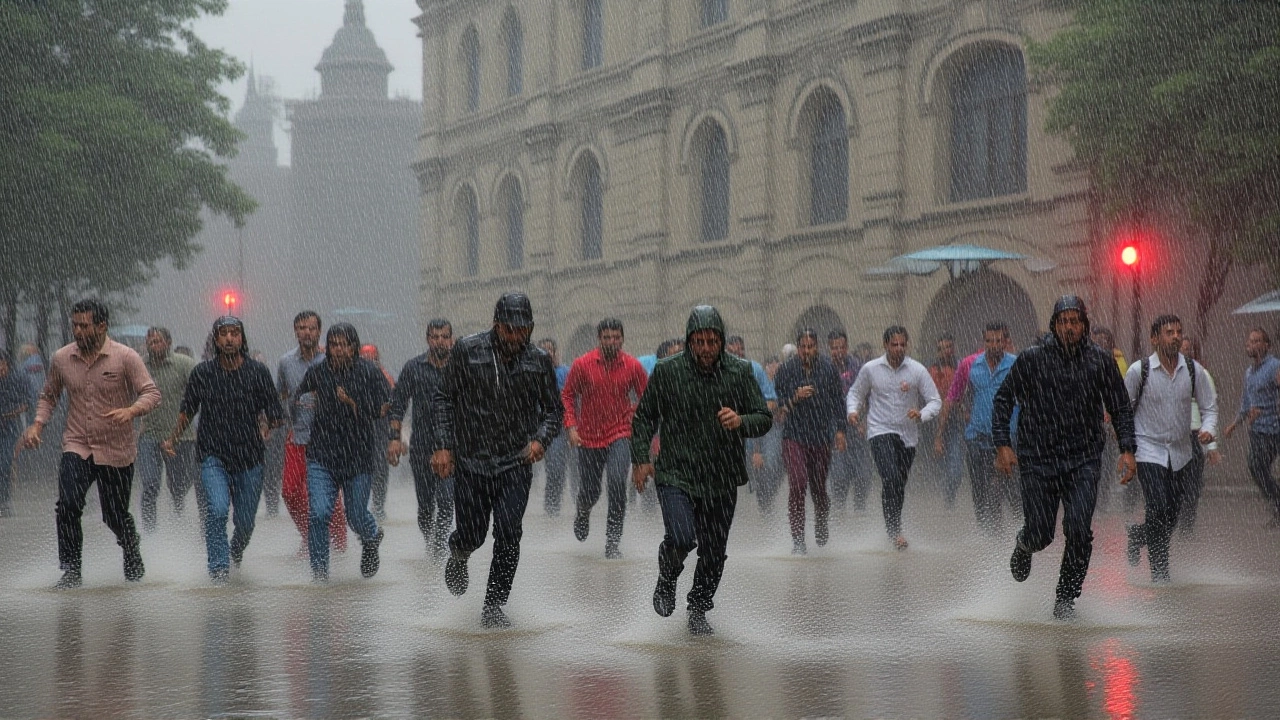
In Mumbai, the situation is historic. Reports suggest it may be the first time in 68 years that Maharashtra has seen zero rainfall in the first half of June. That’s a long drought for a city defined by its downpours. Meanwhile, in Madhya Pradesh, isolated showers hit 28 districts, including Bhopal and Jabalpur. In Sehore district, gusts reached 61 km/h, hinting at localized instability, but these scattered events aren’t enough to reverse the national trend.
Agricultural Anxiety
For farmers, every day of delay matters. The Kharif crop sowing season is approaching, and water levels in reservoirs are stagnant. Without timely rains, soil moisture drops, seed germination fails, and yields plummet. The economic ripple effects could be severe, affecting everything from local food prices to national agricultural output.
Urban areas face their own challenges. Water supply systems, which rely on monsoon recharge, are under pressure. Heatwaves linger longer without the cooling effect of rain, increasing health risks for vulnerable populations. It’s a stark reminder of how deeply human life is tied to these seasonal rhythms.
What’s Next?
There is hope on the horizon. Forecast models indicate that the western jet stream’s anomalous pattern may weaken by the end of the week. As the high-altitude barrier lifts, the southwest monsoon is expected to reorganize and regain strength. By late June, widespread rainfall should return to central and southern India.
But until then, the wait continues. Authorities are monitoring the situation closely, advising farmers to conserve water and prepare for potential irrigation needs. The next few days will be critical in determining whether the monsoon makes a swift recovery or lingers in this paused state.
Frequently Asked Questions
Why is there a 64% rainfall deficit in India?
The deficit is caused by a "monsoon pause" driven by the western jet stream shifting unusually southward. This disrupts the upper-level easterly winds that normally propel the monsoon system into the Indian subcontinent, leading to significantly reduced rainfall between 4 and 15 June 2026.
Which states are most affected by the monsoon delay?
Madhya Pradesh, Rajasthan, and Maharashtra are among the hardest-hit regions. Maharashtra, particularly Mumbai, may be experiencing its first rainless first-half of June in 68 years. Central and peninsular India generally shows sparse cloud cover compared to the Himalayan and northeastern regions.
Will the monsoon return soon?
Meteorological models predict that the western jet stream anomaly will weaken by the end of the week. This should allow the southwest monsoon to reorganize and bring widespread rainfall back to central and southern India by late June 2026.
How does this affect farmers?
Delayed rains threaten the Kharif crop sowing season. Lack of soil moisture can hinder seed germination and reduce yields. Farmers are advised to conserve water and monitor reservoir levels, as prolonged dry spells could lead to increased irrigation costs and potential crop failure.
Is this related to El Niño?
While some reports mention El Niño-like conditions in the Pacific, experts emphasize that the primary cause is the anomalous positioning of the western jet stream. Sea surface temperatures and moisture levels are not the main drivers of this specific "monsoon pause."